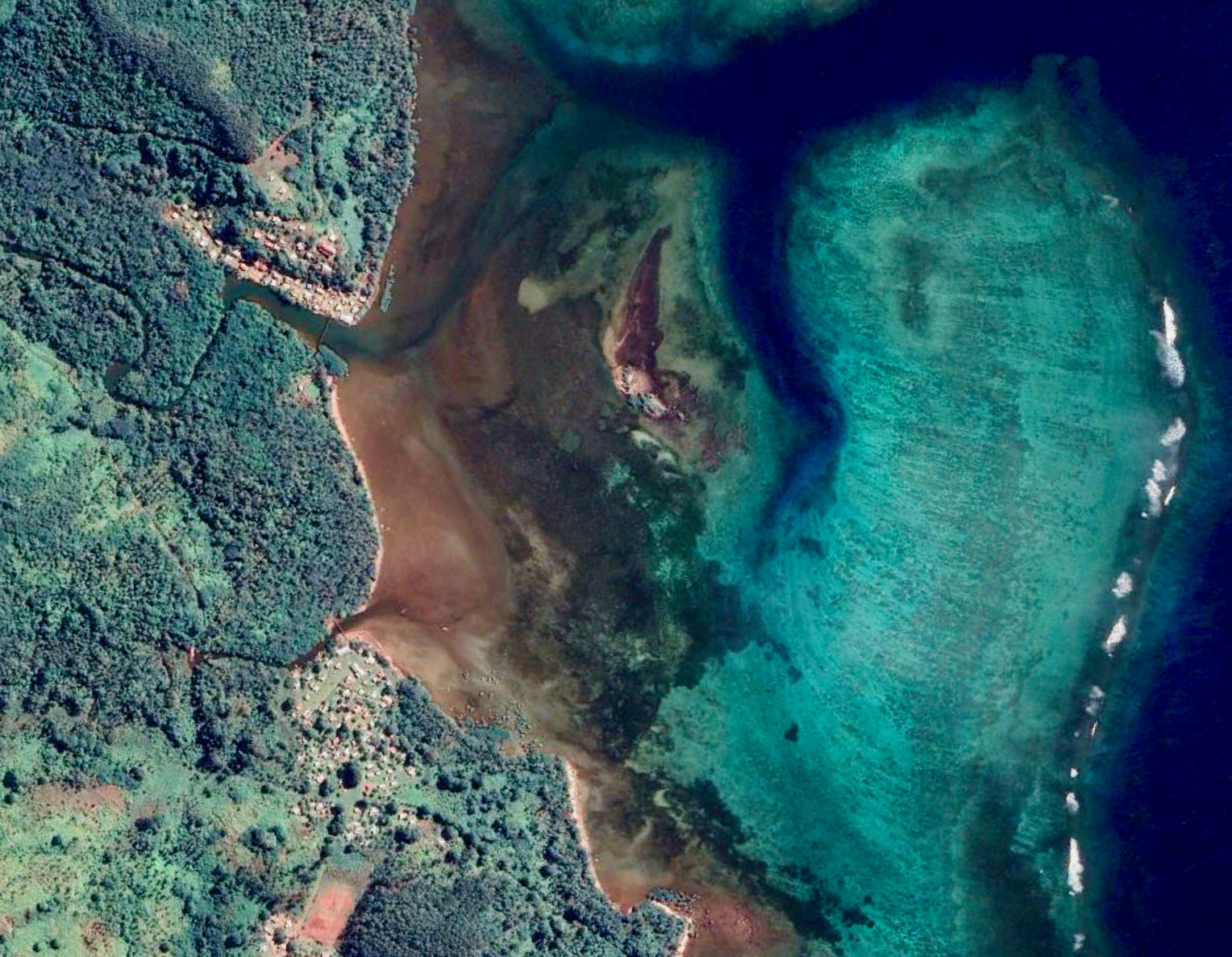
New postgraduate course on Geospatial Data Applications for Environmental Planning and Management offered by PaCE-SD.
17 March 2023

Consider a world where there are no maps. Maps are arguably one of the most important human inventions, if not the oldest.
Mapping has altered our perception of location and is one of the most useful decision-making tools. They aid us in our travels and are becoming more integrated into our daily lives.
The European Union-funded Pacific Adaptation to Climate Change and Resilience (PACRES) programme, through the University of the South Pacific (USP) component, supported the development of an online postgraduate course on Geospatial Data Applications for Environmental Planning & Management (PC440).
“PC440 is a valuable course for anyone interested in geospatial analysis and its applications in the Pacific context,” said Dr. Young, Course Coordinator for PC440.
“The course will prepare students for a career in a variety of fields by providing them with practical skills and knowledge applicable to both academia and the real world.”
“It will also give students the opportunity to be creative in bridging geospatial analysis and social science,” she added.
The postgraduate course focuses on geospatial applications of Geographic Information Systems (GIS) and remote sensing concepts for environmental planning and management, using a variety of proprietary and open-source tools.
PaCE-SD offered the course for the first time in a blended format in the second semester of 2022 and will continue to do so every year. The course requires students to participate in online discussion forums and computer labs in addition to the usual lectures, assessments, moodle activities, and zoom classes.
“Thank you very much to USP PACRES for providing the support needed to create the Geospatial Data Applications for the Environment Planning & Management Course,” said Lita Uaniceva of Fiji, who was one of the students who successfully completed the course in its first offering.
“This course has allowed me to investigate how geospatial methods and software can be used to address critical environmental and disaster-related issues in my community,” she added.
Students will be able to map out and allocate resources, develop strategic plans based on requirements, and make decisions on a variety of community issues.
A total of 8 students from Fiji (7) and Vanuatu (1) successfully completed the course in its first delivery in Semester II, 2022.
The USP component of the EU-funded Intra-ACP GCCA+ PACRES programme is implemented in partnership with the Secretariat of the Pacific Regional Environment Programme (SPREP), the Pacific Community (SPC), and the Pacific Islands Forum Secretariat (PIFS).