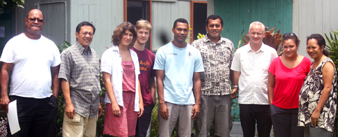
A five-day training workshop on the use of Geographic Information System (GIS) mapping for biodiversity and conservation planning was successfully organised by the Institute of Applied Sciences (IAS) at the University of the South Pacific.
The workshop, which was held from 13 – 17 February 2012, was conducted by academics, Dr Glenn Aguilar and Professor Linton Winder from the Unitec Institute of Technology in New Zealand.
The training provided an introduction to Species Distribution Modeling (SDM) which is advocated as an increasingly powerful tool in conservation biology.
The Director of IAS, Professor William Aalbersberg highlighted that the knowledge and skills gained from the workshop will facilitate in the provision of valuable information necessary for conservation and biodiversity policy making in Fiji and the region.
The workshop provided the first phase of training aimed at equipping staff and post graduate students of the South Pacific Herbarium and environment units of IAS and the Biology department of the Faculty of Science, Technology and Environment at USP, with the skills in analyzing species distribution data gathered from biodiversity surveys using GIS.
Such a workshop, Professor Aalbersberg said, is seen as the beginning of future collaboration work between USP and the Unitec Institute of Technology.
The training included the processes from data collection (i.e. species distribution data) and ground truthing on the field using a Global Positioning System (GPS), visualization of spatial information and then an introduction to spatial statistical analysis and SDM.
The modeling technique uses distribution data to associate species usually to a set of abiotic variables, for example; climate data, soil type and elevation. This is to further predict presence probabilities of species for un-surveyed sites.
Modeling techniques such as these are used when species distribution data are scarce and usually fill in gaps in distribution maps, identify sites with a potentially high conservation value and more recently to assess impacts of climate change.